The Ledger · Places
Dams by River Basin
The same register cut by the basin each dam's river drains to, rather than by district.
Ordered by the number of records in each, largest first.
- 2026
Dams of the Ganga Basin in Rajasthan
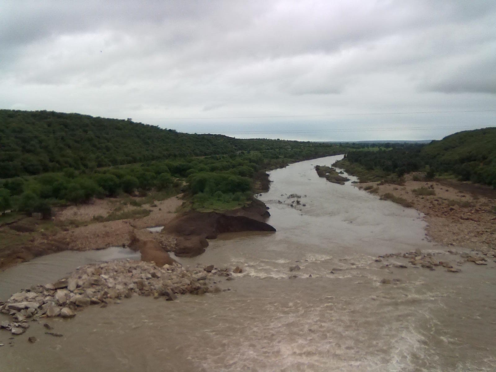 165 places editorial order
 - 2026
Dams of the Mahi Basin in Rajasthan
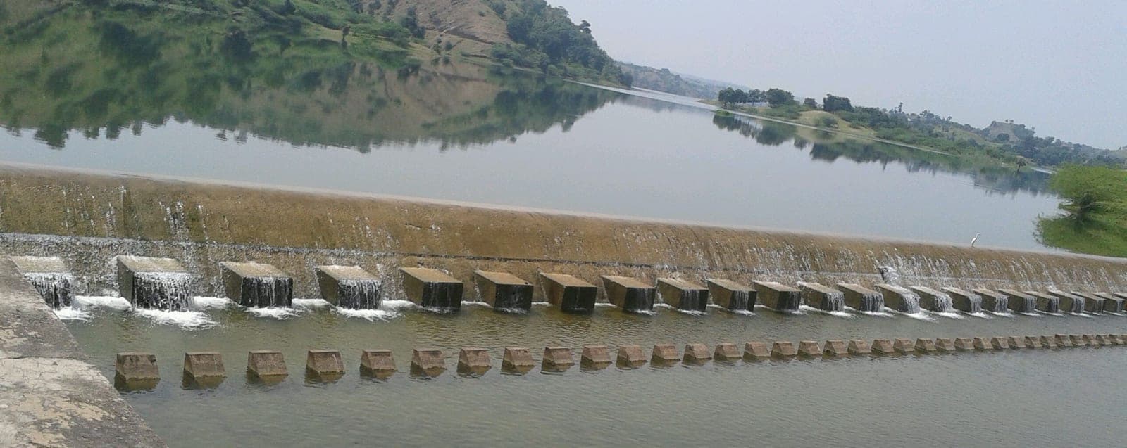 65 places editorial order
 - 2026
Dams of the West-Flowing Rivers of Kutch and Saurashtra including Luni Basin in Rajasthan
 Video still61 places editorial order
 - 2026
Dams of the Sabarmati Basin in Rajasthan
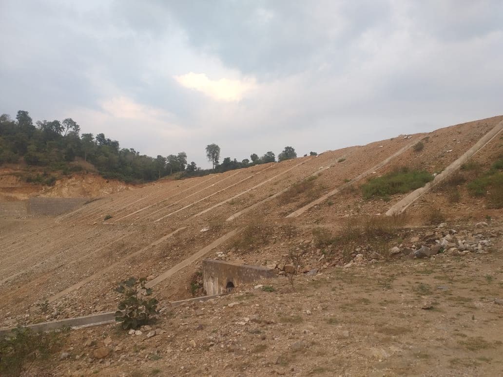 24 places editorial order
Photographs are credited, with their source and licence, on each entry’s page.
One method, shared by every one of the 4 lists below.
WHAT THIS IS. The dams of Rajasthan on the National Register of Specified Dams 2025, grouped by the river basin the register assigns each of them to. It is the same register as the district lists, cut along the line water actually follows rather than along an administrative boundary. WHY THIS CUT EXISTS. A district is a unit of administration and a basin is a unit of hydrology, and for a dam the second is the one that explains it. Rajasthan's dams fall into four basins, and the split is not even: two thirds of them are in the Ganga basin, and almost all of the rest divide between the Mahi and the west-flowing rivers of the far west. THE BASIN NAMES ARE THE REGISTER'S. The only change is expanding its abbreviation — it writes "WFR of Kutch and Saurashtra including Luni", and WFR is West-Flowing Rivers. No dam has been reassigned to a basin other than the one its own row gives it. ORDER. Alphabetical within the basin. Not a ranking. SOURCE AND ITS STANDARD. Filing-grade: the register is the Central Water Commission and the National Dam Safety Authority's own, compiled from State Dam Safety Organisation returns.